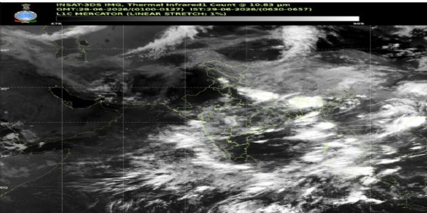
New Delhi, 29 June (H.S.): The India Meteorological Department (IMD) has forecast light rain accompanied by thunderstorms in the national capital, Delhi, on Monday. According to the IMD, the southwest monsoon is expected to reach Delhi within the next five to six days. Conditions are also favourable for the monsoon to advance over the remaining parts of the north Arabian Sea, Uttar Pradesh, Uttarakhand, Himachal Pradesh, Jammu and Kashmir, Ladakh, and southeastern Rajasthan within the next two to three days.
The IMD said that Sunday was Delhi's hottest day in the past two years. The minimum temperature settled at 31.1 degrees Celsius, which was 3.2 degrees above normal, while the maximum temperature reached 41.8 degrees Celsius. Due to high humidity, the heat index, or feels-like temperature, touched 50.7 degrees Celsius, causing severe discomfort. Previously, on June 14, 2024, the city had recorded a minimum temperature of 33.3 degrees Celsius.
Private weather agency Skymet has predicted that if favourable conditions persist, the southwest monsoon could arrive in Delhi by July 4. According to Skymet, dry winds from Pakistan are interacting with moisture-laden winds from the Arabian Sea. While this interaction is leading to cloud formation, insufficient moisture is preventing widespread rainfall. Clouds are generally developing during the hottest part of the day, reducing the chances of significant precipitation.
Meanwhile, relentless rainfall and flooding have severely disrupted normal life across the northeastern states. In Arunachal Pradesh's Keyi Panyor district, three people lost their lives after a flash flood struck the area. Flooding and landslides have damaged houses and infrastructure in several locations. Rain-related disruptions have affected ten districts in the state, where relief and rescue operations are continuing. The weather department has forecast up to 200 mm of rainfall in the state by Monday.
In Sikkim's Dzongu region, the Bailey Bridge connecting Phidang and Sankalang was washed away following heavy rainfall, cutting off the area from the rest of the state. No casualties have been reported.
The Meteorological Centre in Shimla has predicted that the spell of rain in Himachal Pradesh will continue until July 4. It also stated that a fresh western disturbance is likely to become active over northwest India from July 2. The department has issued an alert for thunderstorms, rain, and gusty winds with speeds of 30 to 40 kmph at isolated places across the state between June 30 and July 4.
The IMD has also forecast isolated rainfall over Punjab and Haryana on June 29, July 1, and July 2. In Rajasthan, scattered rainfall was recorded on Sunday in several places, including Pilani in Jhunjhunu district, which received 7 mm of rain since morning. Rainfall activity is expected to intensify over southeastern and eastern Rajasthan from July 2.
The department further said that pre-monsoon showers are likely over the Jammu plains and adjoining areas on Monday, with the possibility of heavy rainfall, thunderstorms, and strong winds at isolated places.
The Meteorological Centre in Dehradun noted that temperatures remain significantly above normal across many parts of Uttarakhand. A yellow alert has been issued for isolated places in the hill districts, warning of thunderstorms, lightning, heavy to very heavy rainfall, and strong winds.
---------------
Hindusthan Samachar / Jun Sarkar


29 Jun 2026