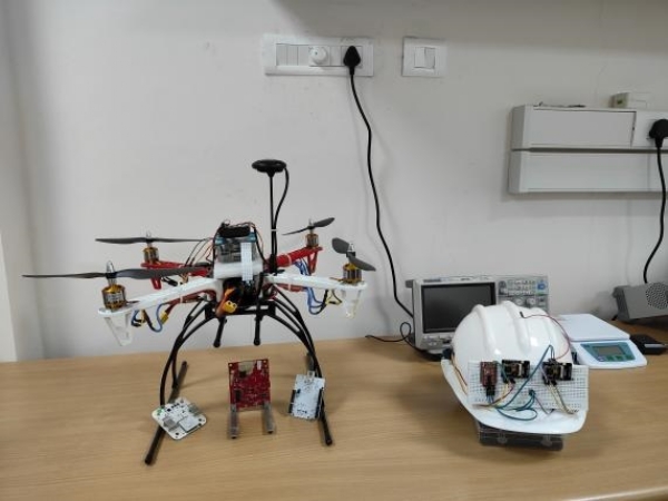
Chennai, 8 April (H.S.): IIT Madras has developed Ubiqmap, a real-time indoor mapping technology using wearable sensors and radio tomographic imaging (RTI). Designed for disaster relief, it helps first responders navigate and map indoor spaces under any condition, enhancing rescue operations.
Researchers at IIT Madras have introduced Ubiqmap, a breakthrough technology that allows first responders to map indoor environments in real-time during disaster relief. By wearing a sensor, rescuers can use radio frequency-based imaging (RTI) to create maps, even in poor lighting or harsh conditions, where traditional tools often fail.
RTI works by deploying wireless transceivers that exchange radio signals. Objects or people alter these signals, and a computer analyzes the changes in signal strength to reconstruct a detailed image of the space. IITM’s innovation uses wearable transceivers on rescue personnel, updating maps dynamically as they move.
This portable system provides accurate floor maps in low-visibility areas, aiding evacuation planning and resource allocation. “Ubiqmap is a robust tool that doesn’t rely on visual sight or heavy computing power,” said Prof Ayon Chakraborty, who led the project. An Indian patent has been filed for this technology.
Beyond mapping, Ubiqmap can identify material properties—like drywall versus concrete—helping responders plan safer routes. It complements tools like cameras and SLAM (Simultaneous Localisation and Mapping). Successfully tested on campus, the team is now prototyping a wearable version for real-world trials.
---------------
Hindusthan Samachar / Dr. R. B. Chaudhary


