



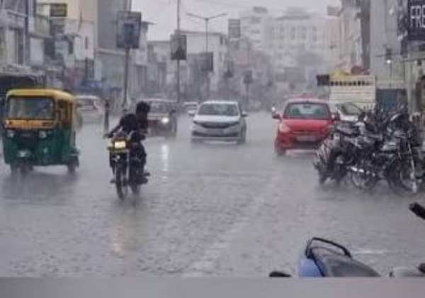
Kolkata, 14 September (H.S.) : Rainfall is likely to decrease across South Bengal over the next few days, while several parts of North Bengal are expected to continue receiving heavy showers, according to the India Meteorological Department (IMD).
The weather office said a low-pressure area that had formed over the northwest Bay of Bengal has gradually moved west-northwestwards and is now located near the Andhra Pradesh-Odisha coast. An associated cyclonic circulation extends up to 7.6 km above mean sea level. A trough extending from Rajasthan to the circulation has also been influencing weather conditions over central India.
The southwest monsoon trough remains active over Rajasthan, Madhya Pradesh and Chhattisgarh, resulting in continued rainfall activity over North Bengal.
In South Bengal, isolated thunderstorms accompanied by light to moderate rain are likely on Monday in Purulia, Bankura, East Burdwan, West Burdwan, Birbhum and Murshidabad. Gusty winds with speeds of 30-40 kmph may accompany the showers in these districts.
The weather is expected to remain largely dry in the rest of South Bengal, including Kolkata, over the next few days. However, isolated spells of rain cannot be ruled out at times.
Rainfall activity is likely to intensify in North Bengal. Jalpaiguri and Alipurduar may receive heavy to very heavy rainfall on Wednesday, accompanied by gusty winds. An orange alert has been issued for both districts for that day.
Darjeeling, Jalpaiguri, Kalimpong and Cooch Behar are expected to receive rain from Monday through Thursday, with isolated heavy showers possible. While heavy rainfall is not currently expected in North Dinajpur, South Dinajpur and Malda, thunderstorms and gusty winds may continue, prompting weather alerts in these districts.
Meanwhile, Kolkata recorded a minimum temperature of 25.2 degrees Celsius on Monday morning, 1.2 degrees below normal. The city's maximum temperature on Sunday was 31.6 degrees Celsius, also 1.2 degrees below normal.
Hindusthan Samachar / Satya Prakash Singh

18 Aug 2026
ED raids KPSC office, 20 other locations over Karnatak veterinary recruitment scam
ED raids KPSC office, 20 other locations over Karnatak veterinary recruitment scam..