



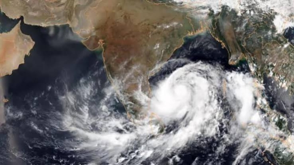
Amaravati, 20 October (H.S.): A weather system developing over the Bay of Bengal may intensify into a cyclone by the end of October and approach the coast between north coastal Andhra Pradesh and south Odisha, while an upper-air circulation is expected to bring rain to parts of Andhra Pradesh over the next three days.
An upper-air circulation is currently active over the southwest Bay of Bengal near the north Tamil Nadu coast, extending up to 5.8 km above mean sea level. The system is likely to cause heavy rain at isolated places in coastal Andhra Pradesh, while other areas may receive light to moderate showers and thundershowers.
Weather models indicate that a low-pressure area may form over the Andaman region around October 24 or 25. It could intensify into a depression by October 27 as it moves into the central Bay of Bengal, and may strengthen further into a cyclone within the following two days.
The system is projected to approach the coast between north coastal Andhra Pradesh and south Odisha by the end of the month. Its likely track and intensity are expected to become clearer over the next two days as weather officials continue to monitor its development.
---------------
Hindusthan Samachar / Indrani Sarkar

18 Aug 2026
ED raids KPSC office, 20 other locations over Karnatak veterinary recruitment scam
ED raids KPSC office, 20 other locations over Karnatak veterinary recruitment scam..